Water harvesting from dirt roads image gallery
Transforming life- and resource-eroding dirt roads to generators of life and resources…
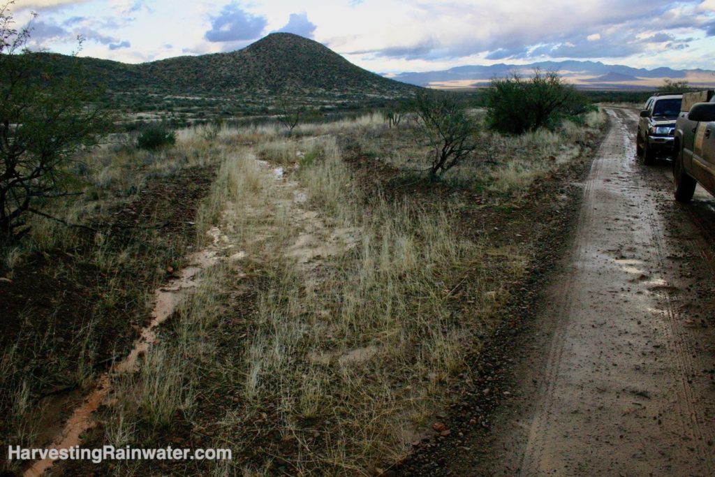
Continual blading of road for “maintenance” has turned the dirt road into a canyon that is very difficult to drain.
The surrounding landscape drains into the road turning it into a muddy bog in rains, requiring more maintenance after things dry out. Maricopa County, Arizona.
Photo: Brad Lancaster
Blading of dirt road during its construction and maintenance has resulted in the road becoming the lowest point in—and thus the drain of—the landscape.
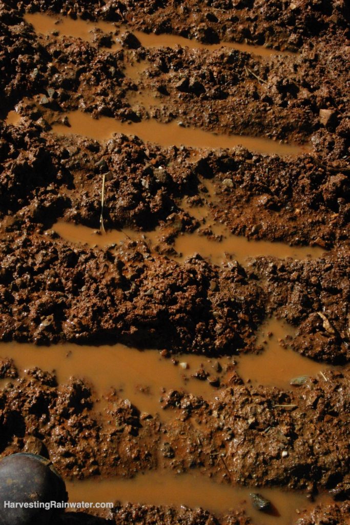
Water takes the path of least resistance, thus much of the water erosively flows down the wheel ruts in the road, bypassing the road drain. Road drain is also too narrow, resulting in the channelization of the water flow which erosively deepens the channel. Altar Valley, Arizona.
Photo: Brad Lancaster
Poorly maintained dirt road. Road drain has been blocked off when road grader created a berm in front of drain.
As a result more water flows erosively down road. Altar Valley, Arizona. Photo: Brad Lancaster
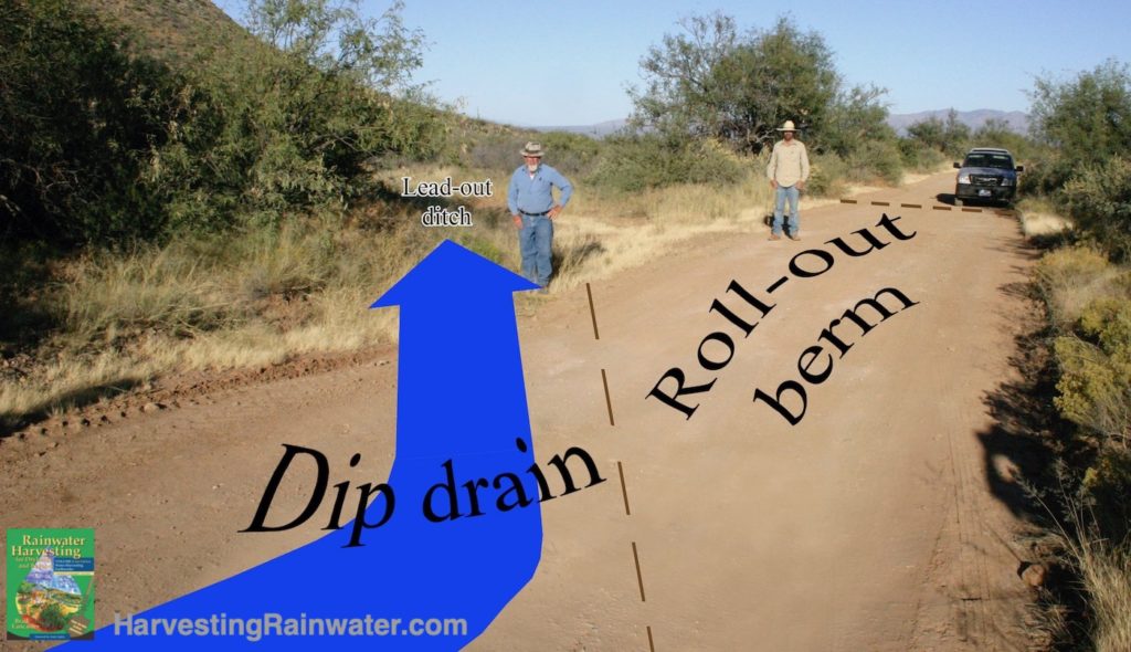
Blue arrow denotes water flow diverted off a road in a rolling dip.
Dashed line denotes the boundaries of the roll-out berm, which prevents water from continuing to flow down the road.
Bill Zeedyk (with white beard) stands where the water flows from the dip drain into the wide lead-out ditch. Elkhorn Ranch, Altar Valley, Arizona.
Photo: Brad Lancaster
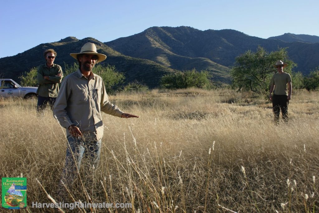
Van Clothier shows how native grasses have grown waist high where they receive road runoff inputs from a rolling dip’s lead-out ditch placed in a “best chance” location. Elkhorn Ranch, Altar Valley, Arizona.
See AltarValleyConservation.org for more on their water-harvesting projects.
Photo: Brad Lancaster
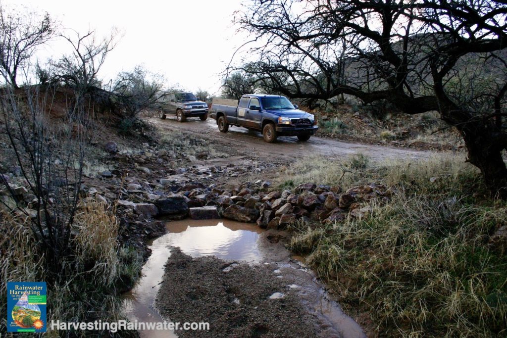
A roll-out berm in the road (under the trucks) ensures no water flows past the lead-out drain.
Note the grass stabilizing the drain. Native grass seed was dispersed into imprinter-like depressions made by the bulldozer’s tracks within the wide drain when the drain was built in order to create water- and seed-harvesting microbasins. Photo: Brad Lancaster
These imprints are ideal for increasing germination of broadcast seed. Photo: Brad Lancaster
A cross-vane (keyed into bedrock on left side of photo and native boulders on the right) controlling a headcut that used to erode the edge of the road where it crosses an ephemeral waterway.
The cross vane also created a scour pool that clears sediment and collects water for wildlife.
Designed by Bill Zeedyk. Hand-built by Pima County road crew in 2007. Altar Valley, Arizona.
Photo: Brad Lancaster
See here for more water harvesting from dirt roads and other strategies in Altar Valley, Arizona
For more
See the new, full-color, revised editions of Brad’s award-winning books
– available a deep discount, direct from Brad:
Volume 1
Volume 2
Especially chapter 9, as it covers the rolling dip strategy for dirt roads.